Antilles Island Map 2
Other
SKU: SKU:SKU:DIG2413-S
- Regular price
- $282.00
- Sale price
- $282.00
- Regular price
Shipping calculated at checkout.
Description
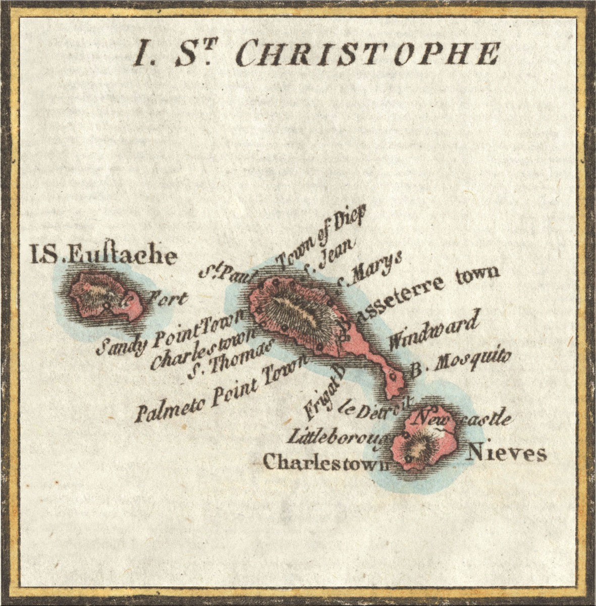
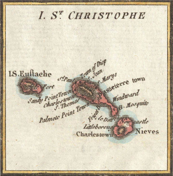
This stunning artwork features the vintage map of Saint Christopher (St. Kitts), Nevis, and Saint Eustatius, showcasing the colonial populated areas and geographical features. Jump into the detailed design, where soft earth tones and fine lines depict the island’s geography to reality.
Antilles Island Map 2 displays exploration and navigation, highlighting the islands’ geographic importance in Caribbean trade and history. The harmonious arrangement with labeled towns and ports, defined by elegant design elements. Antilles Island Map 2 stands as an ultimate collection for historians and geographers.
- Abstract & Contemporary Style.
- Perfect for Homes, Museum, offices and Galleries
- Lively colors with alluring detail
- Available in various sizes
- Ready to hang
Shipping Information
Customization
Looking for customization?
Call +1.561.849.8484